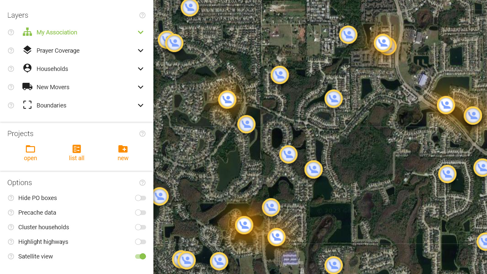
By default, the map will load in gray-scale each browsing session. This is to give more color contrast when applying various layers to your map. You may want to load a satellite view instead to give your map a different look.
In satellite view you can zoom, pan the map, and display all map layers just as if you were in normal view.
Combining the satellite view with your Lights is one example that looks stunning.