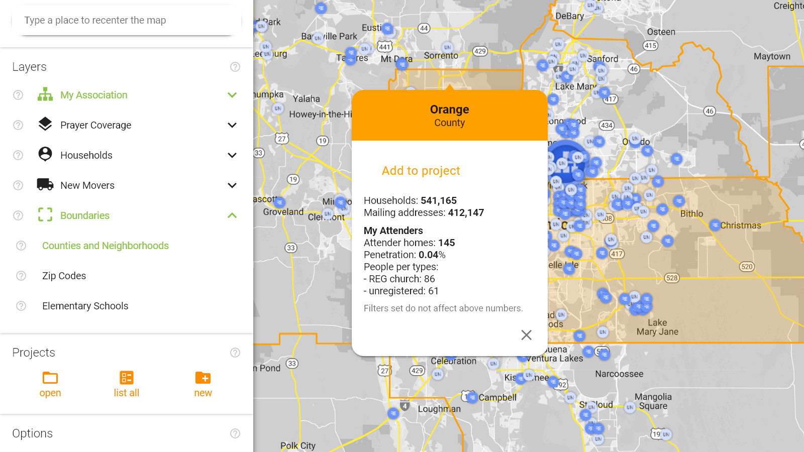
This map layer allows you to see neighborhood boundaries when zoomed in, and county boundaries when zoomed out. Neighborhood boundaries represent a Census Block Group which typically contains between 600 and 3000 residents.
Clicking on these areas brings up the area’s name, type, the number of households and number of individual mailing addresses, and information on the number and type of your attenders in this area. Attenders are your organization’s members, visitors or prospects that you can import from your church management software or add manually.
You can add these areas to a project of yours. Projects created this way allow you to run demographic analyses and download names with mailing addresses specific to certain areas. You can use multiple areas to define a project.