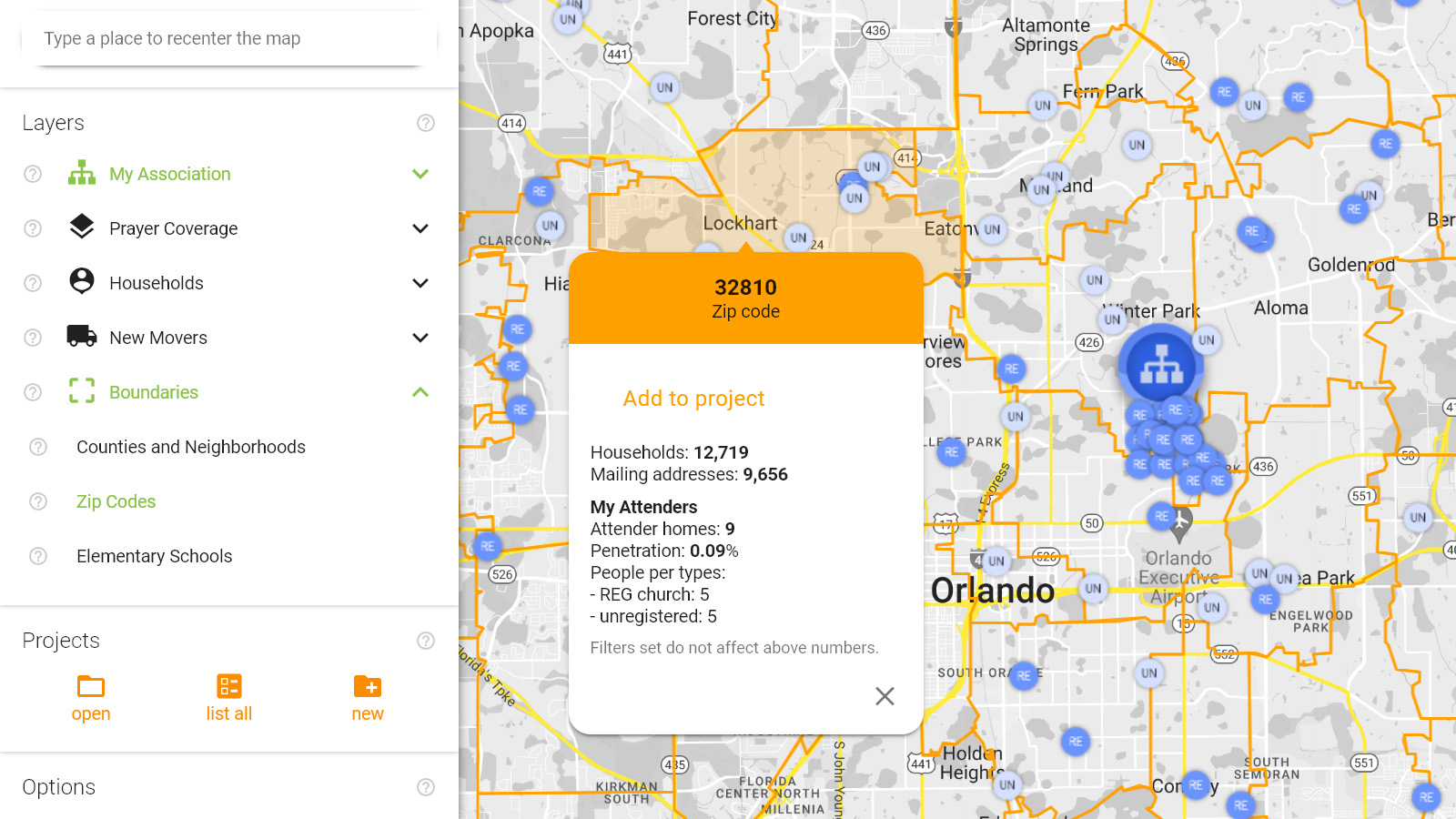
This map layer allows you to see the boundaries of zip codes. When zoomed in, the map is divided into areas representing 5 digit zip codes. When you zoom out, you get a higher level overview which is divided into zones according to the first 3 digits of the zip codes.
Clicking on these areas brings up the area’s name, type, the number of households and number of individual mailing addresses, and information on the number and type of your attenders in this area. Attenders are your organization’s members, visitors or prospects that you can import from your church management software or add manually.
You can add these areas to a project of yours. Projects created this way allow you to run demographic analyses and download names with mailing addresses specific to certain areas. You can use multiple areas to define a project.